Official town boundaries
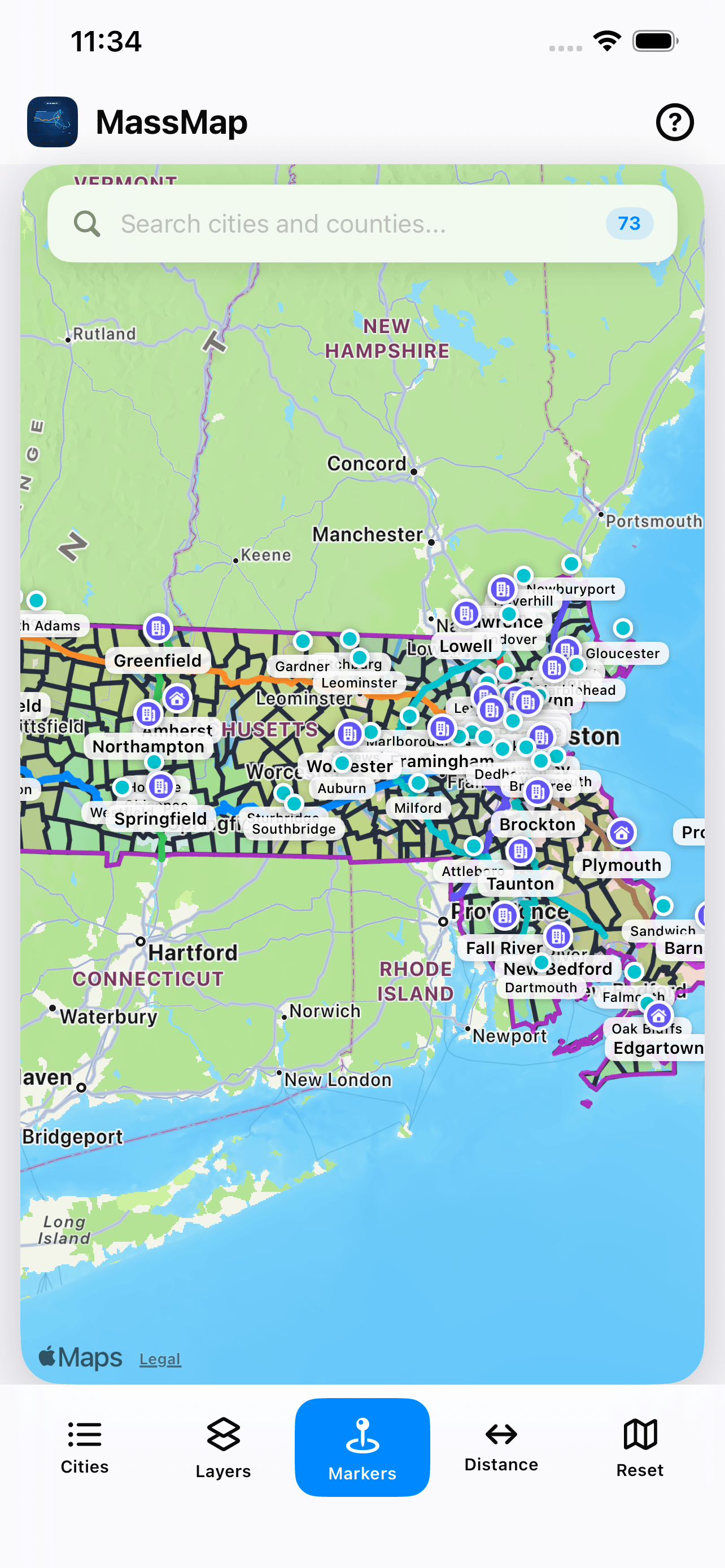
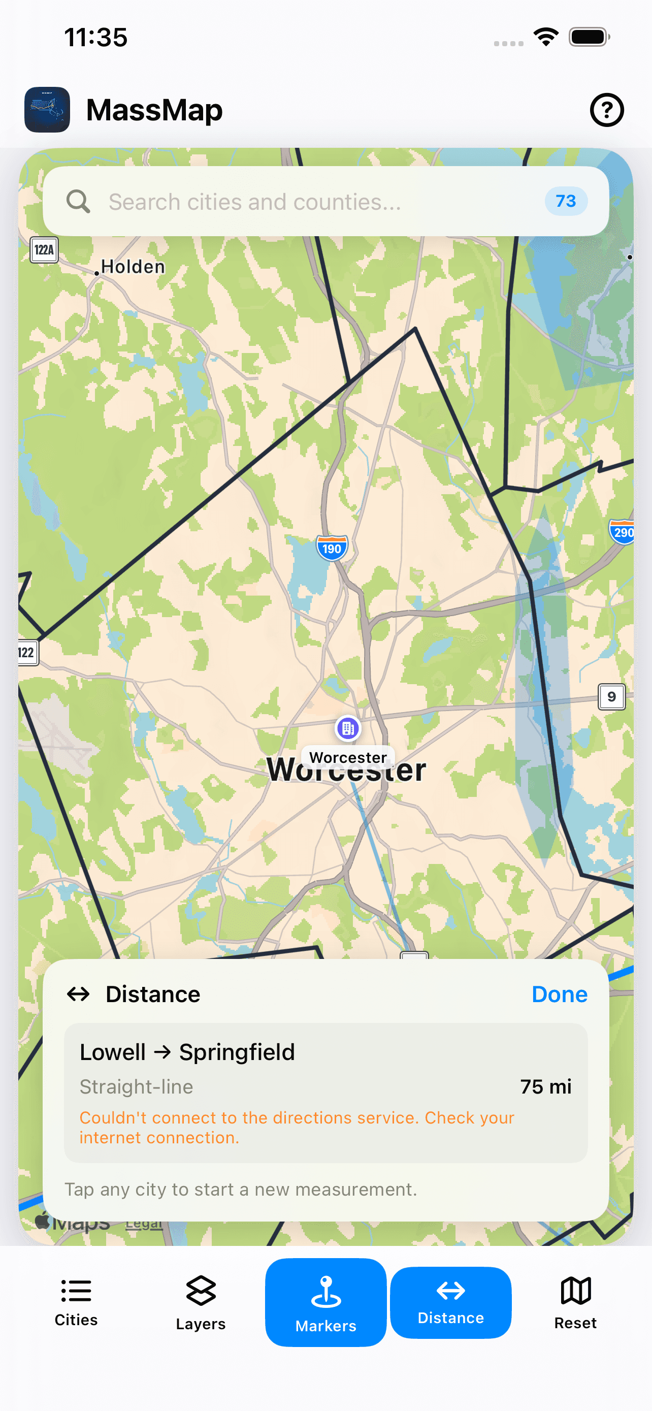
Browse all 351 Massachusetts municipalities with detailed boundaries, county color layers, and a clear statewide outline.
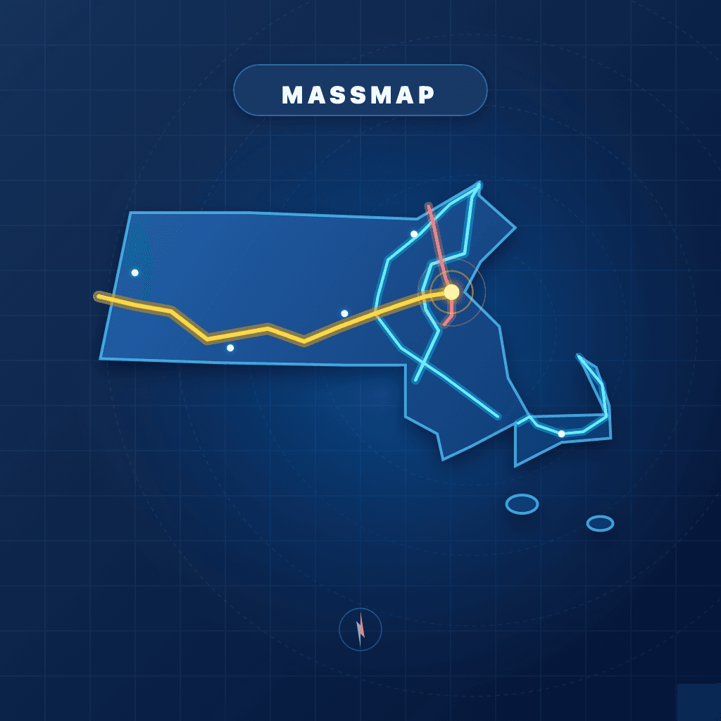 MassMap
Oyster Enterprises
A native iPhone map for exploring Massachusetts towns, counties, highways, waterways, distances, and local history.
Built for Massachusetts
Browse all 351 Massachusetts municipalities with detailed boundaries, county color layers, and a clear statewide outline.
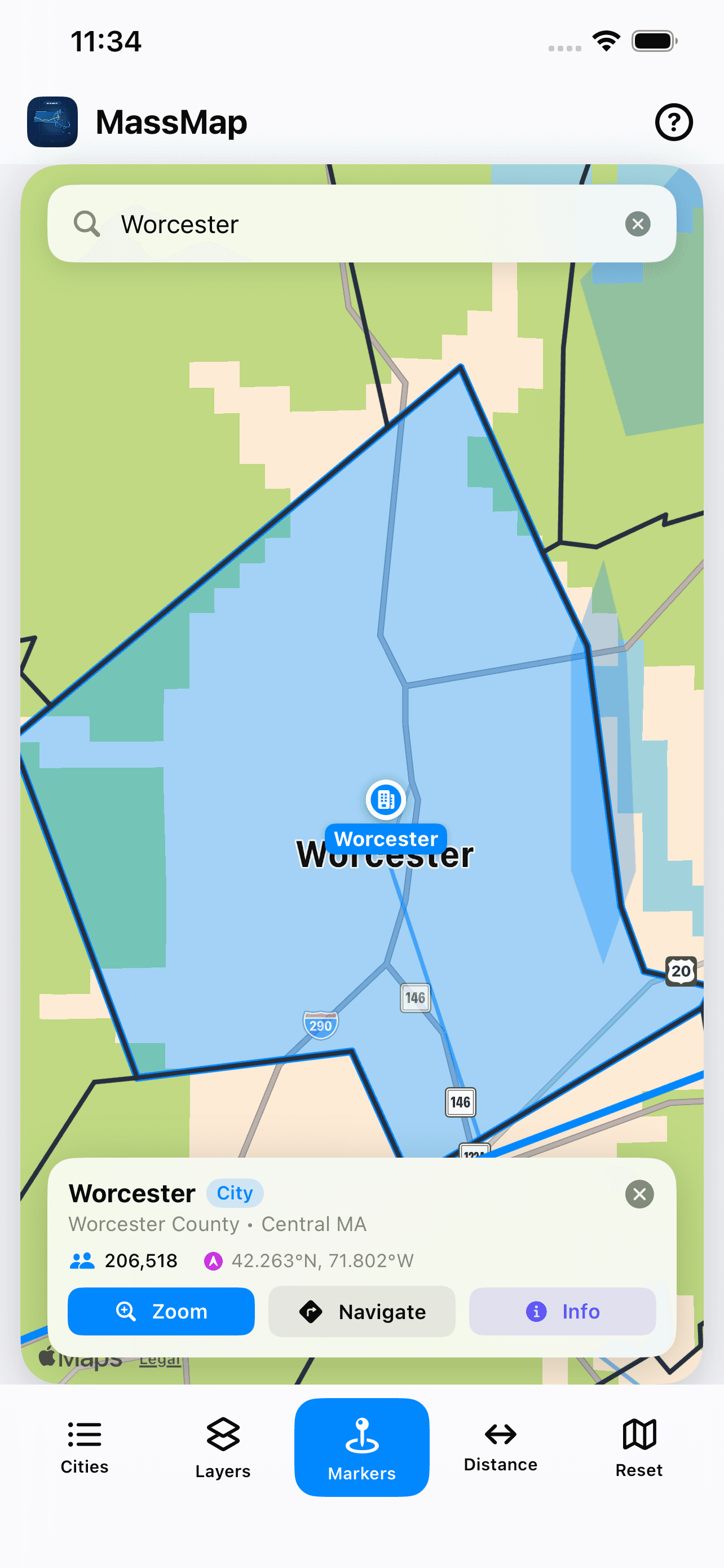
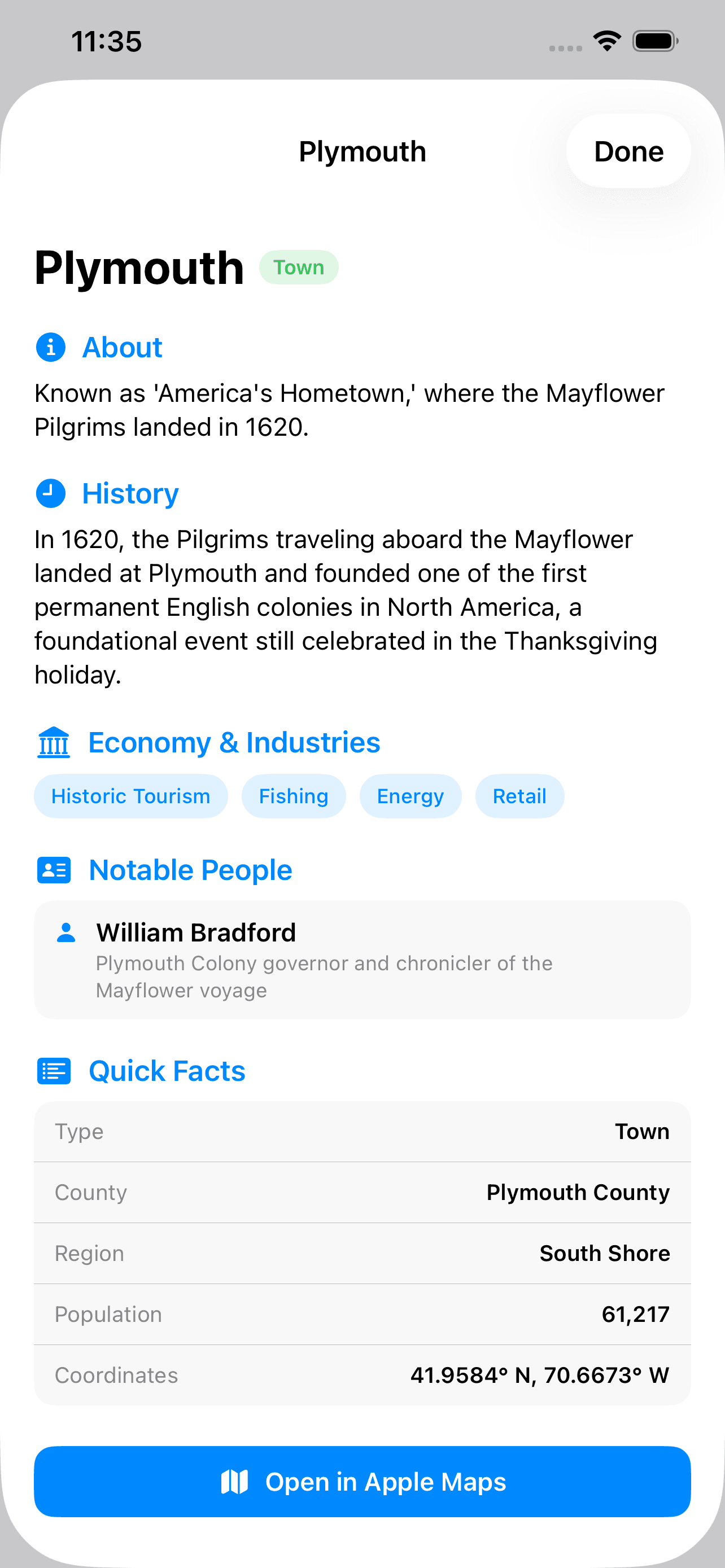
Jump to any city or town, open quick facts, and read focused local history, economy, industry, and notable-people notes.
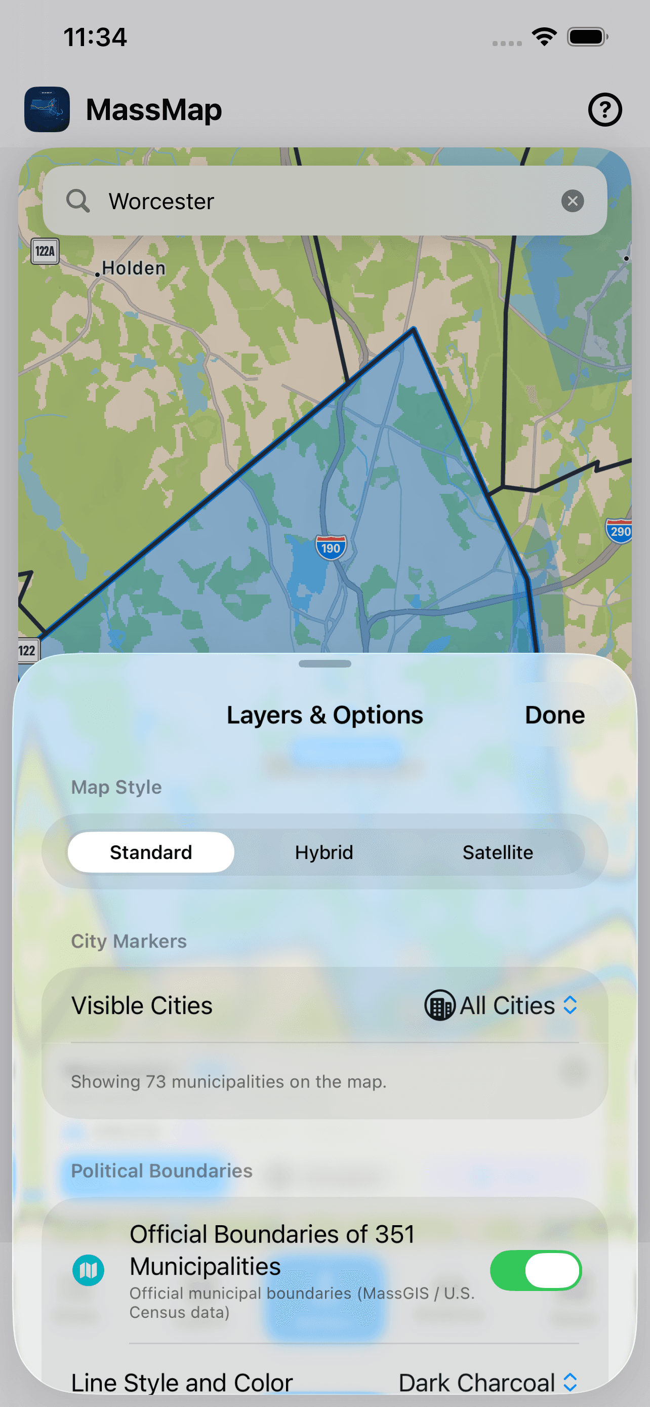
Toggle cities, counties, rivers, highways, and labels so the map stays useful whether you are scanning or studying.
Tap two places to measure distance across the state and understand how Massachusetts communities relate on the map.
Screenshots
Available for iPhone
Download MassMap for a fast, native way to inspect cities, towns, routes, waterways, counties, and local context across the Commonwealth.